The interchange problem: why commuter data never reaches service planners
A commuter crosses four systems; the data estate records fragments. How a connecting layer turns interchange observations into planning evidence.
Transport operations produce astonishing quantities of behavioural data. Ticketing captures revenue-generating journeys; gate lines and counters timestamp movement; surveys sample where the rest of the systems can't reach. And yet the people who plan services, timetables, staffing, interchange layouts, accessibility investment, routinely decide on annual estimates. The data exists. It never arrives.
The journey from platform to planner
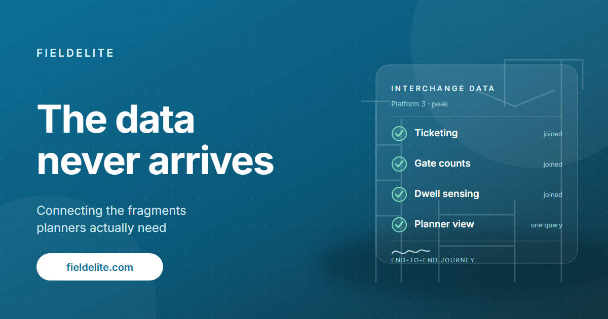
There's a useful way to visualise why. A commuter's passage through an interchange crosses four or five systems: ticketing here, imaging or counting there, dwell sensing elsewhere, each owned by a different vendor, contract or department. The commuter experiences one journey; the data estate records a series of disconnected fragments, each held in a format optimised for the system that captured it, not for the questions it could jointly answer.
So the planner's questions — where should the timetable add capacity, which platform connection is failing at peak, is the interchange layout causing avoidable conflict — get answered by modelled estimates, even where the underlying observations exist in the estate somewhere.
The connecting layer
The fix is neither a new sensing estate nor a grand data platform. It's a middle layer that:
- Standardises the records the systems already produce into one model: count, location, timestamp, direction; anonymous by construction.
- Joins the fragments along the commuter's path, so the interchange becomes describable end-to-end.
- Serves the output where the planner already works: reports and exports into existing planning cycles, not a new dashboard to visit.
It's exactly the integration-first pattern we described for smart transport programmes generally: start with one question with an operational owner (for instance, "where and when does interchange connection-making fail at peak?"), connect just the two or three systems that answer it, and let the connections compound.
The planners we work alongside describe the shift the same way: estimation stops feeling professional when measurement becomes ordinary.
Denizon builds the middle layer that connects sensing, ticketing and planning data. Talk to us about one interchange, one question, one pilot.
Related: Operations analytics and forecasts · Reports, map and billing review · About FieldElite and Denizon · Contact the team

Nora writes about the operational and commercial questions behind service delivery: cost-to-serve, energy performance, footfall and transport planning.